Pages

Thursday, October 29, 2015

Going to California (Monterey, 2015)

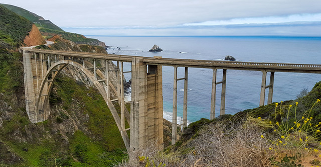
Bixby Bridge, Big
Sur
Bixby Bridge, Big Sur

When we were having trouble deciding on a California vacation spot with my wife's family, I threw out  Monterey as a possibility. I've never been to Monterey, but between the allure of seeing Big Sur and Steinbeck and Kerouac's old haunts, and the desire to balance the various family requirements (not too cold, not too hot, enough to do, not too much to do...), I thought it might be a potential. I'm not sure if they agreed, or whether it was simply the path of least resistance, but the die was cast and off we went. 

Vacationing with 6 adults and two small children was an exercise in logistics and managed expectations. It was great to see everyone, even if it sometimes felt like we were all moving in asynchronous orbits within the same space.  The demands (and naps) of our miniature overlords are as numerous as their spurned wrath is thunderous. That being said, the time we and our far-flung family had to spend together was invaluable.  

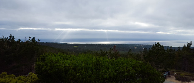
Our rental house in Pebble Beach had commanding views over coastal forests and a vast sweep of the Pacific Ocean. It would be the first of many "how the other half lives" moments in the Monterey areas.  Pebble Beach is the great granddaddy of gated communities, and surrounds several of the more prestigious golf courses in the country along the rocky coast (none of us play golf). It's also known for its 17 Mile Drive, a scenic coastal loop road that the common folk have to pay for the privilege of enjoying. The drive on the Drive was pretty enough to make it worthwhile, but less for the views of rich excess, and more for the seascapes. What struck me was the density and diversity of wildflowers throughout the region. The area was like some high-achieving offspring of  some unnatural coupling of Thomas Kincade and Winslow Homer. Vignettes of stormy (but not too depressingly dark) seas, and wildflower strewn (but not too cheesy/pastel) landscapes. 

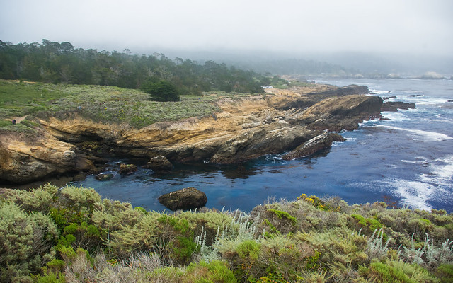
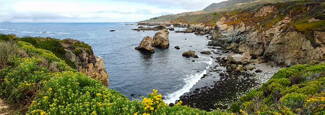
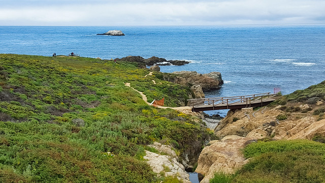
The high points of the trip for me, other than the family time, were our too-brief jaunts out to Point Lobos and a drive through Big Sur. We were limited on time in both cases, but I enjoyed the chance to explore the rugged coastal areas without the tourist trappings/wealth pollution of Monterey/Carmel/Pebble Beach. My wife and I even got some much needed alone time on our Big Sur drive, thanks to babysitting grandparents. 

Pacific
Vista
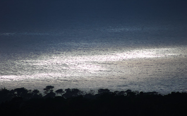
Pacific Ocean view, rental house, Pebble Beach
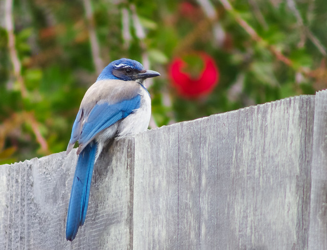
Western Scrub Jay
Western Scrub Jay, Pebble Beach
The sunset
sea
Pacific Ocean at Sunset, Pebble Beach

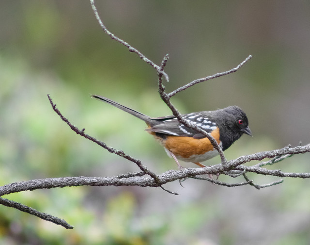
Spotted Towhee
Spotted Towhee, Pebble Beach
Pt. Joe Vista
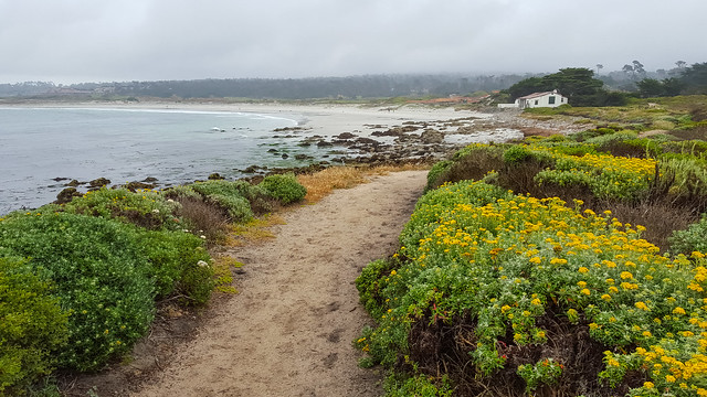
Wildflowers and Cottage, 17 Mile Drive

17 mile road beach
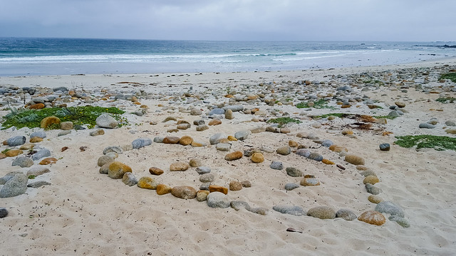
17 Mile Drive Beach
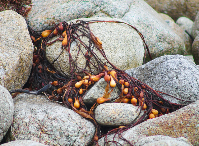
Sea plant on rocks
Seaweed on Rocks, 17 Mile Drive

Golf Course
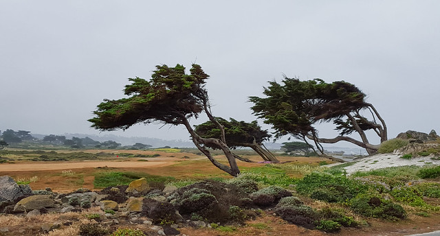
Trees
Golf Course Cypresses, 17 Mile Drive

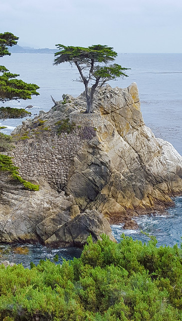
Lone CypressCoastal Cypresses
(B&W)
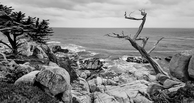
Lone Cypress, 17 Mile Drive                                           Twisted Trees, 17 Mile Drive

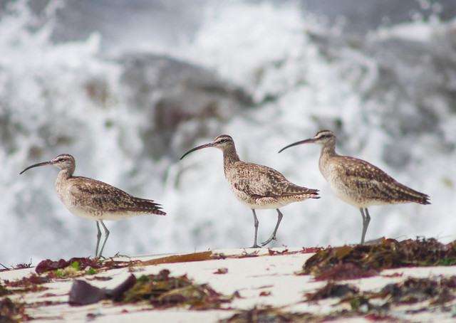
Whimbrel
Whimbrels, 17 Mile Drive beach
Coastal
Forest
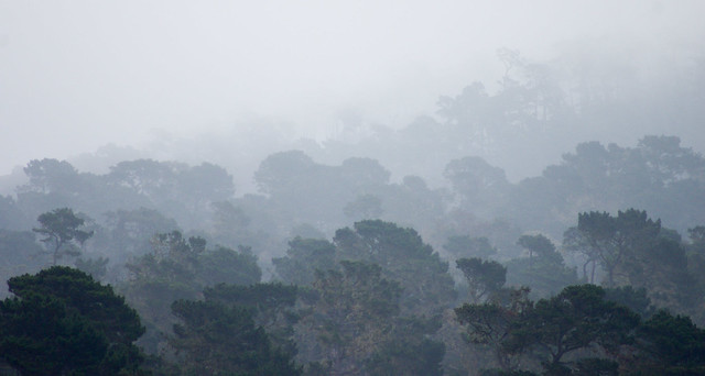
Clouded Forests, 17 Mile Drive


Beach Vista, 17 mile
drive (B&W)
Beachscape (B&W), 17 Mile Drive
Beach Vista, 17 mile
drive
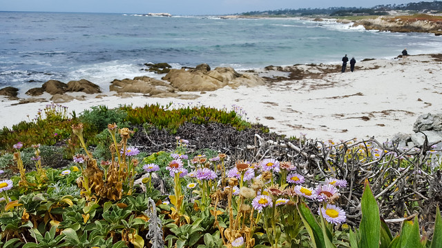
Wildflowers and Beach, 17 Mile Drive
Waves on rocks (B&W)
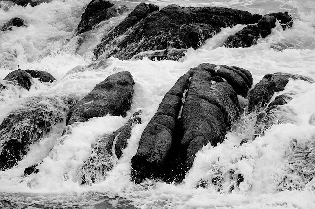
Rocks and Water, 17 Mile Drive
Whalers Cove, Point
Lobos
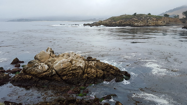
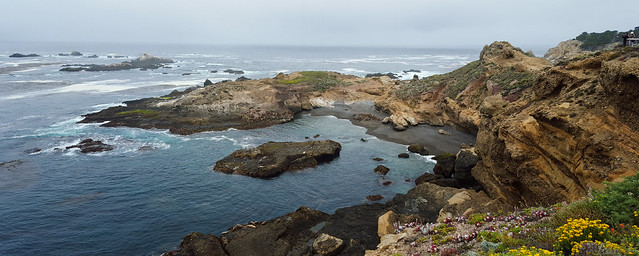
Seascape, Point Lobos


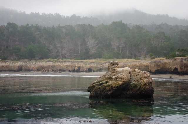
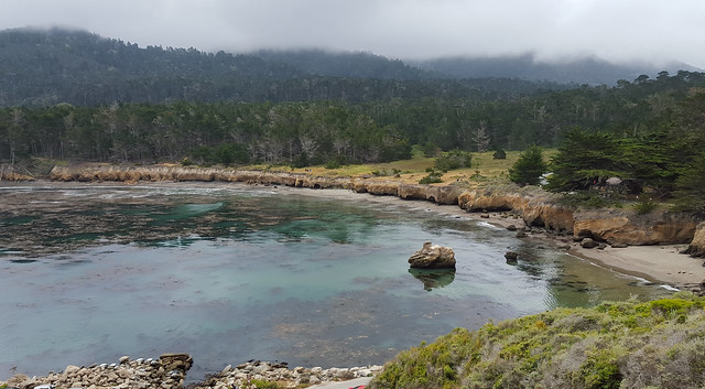
Whalers' Cove, Pt. Lobos State Natural Area
Whaler's Cove, Point Lobos
Southern Sea Otter
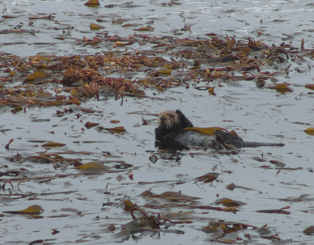
Southern Sea Otter, Point Lobos
Western Gull
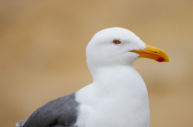
Western Gull, Point Lobos
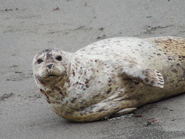
Harbor Seal, Pt. Lobos
Harbor Seal, Point Lobos
Point Lobos landscape
Seascape, Point Lobos
Sea
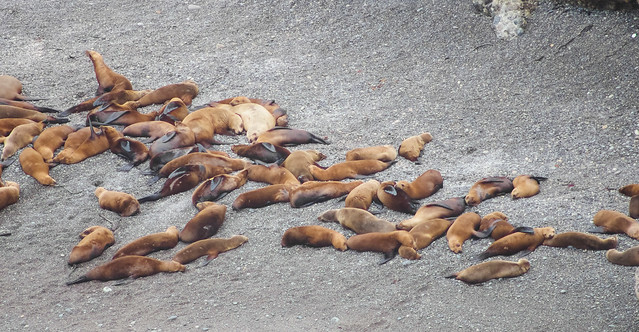
Lions
Sea Lions, Point Lobos

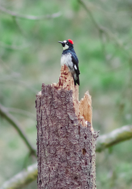
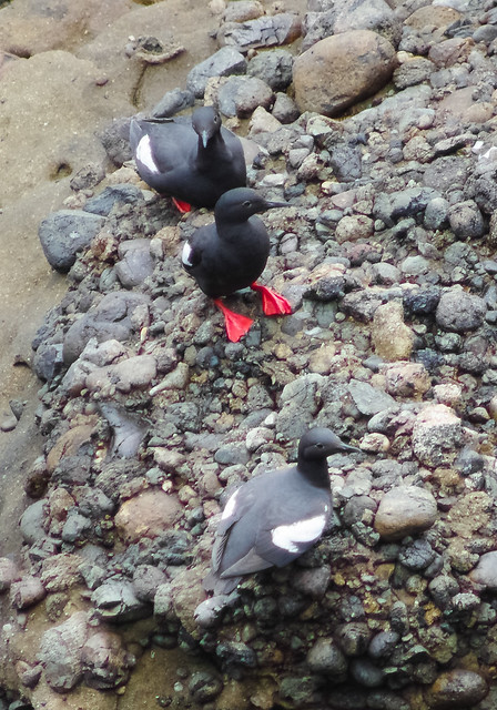
Acorn WoodpeckersPigeon Guillemot
Acorn Woodpecker, Point Lobos                                           Pigeon Guillemots, Point Lobos

Whalers' Cove,
Point Lobos
Whaler's Cove, Point Lobos
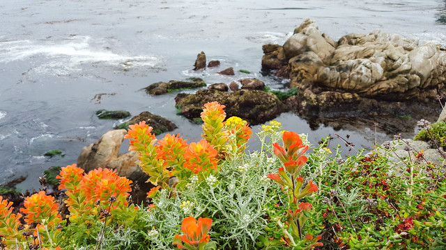
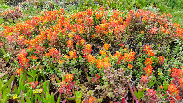
Monterey Indian
Paintbrush/Seaside Paintbrush (Castilleja
latifolia)
Paintbrush and Seascape, Point Lobos

Rocks at Point
LobosRocks at Point
Lobos   Rocks at Point
Lobos
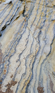
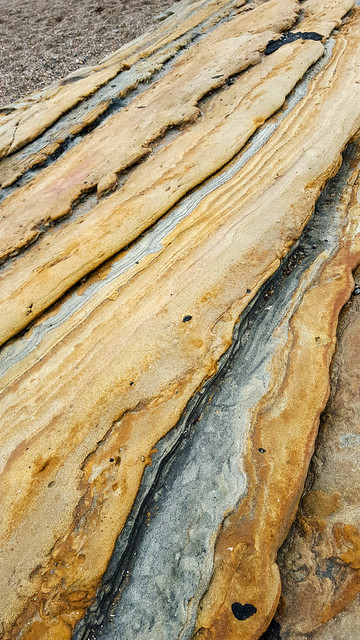
Colors of the Rocks, Point Lobos

Rocks at Point Lobos
Some Geological Thing, Point Lobos

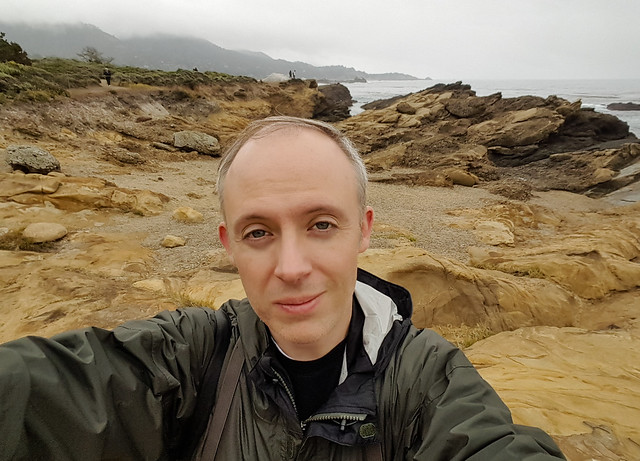
Selfie at Point Lobos
Selfie, Point Lobos
Vista, Point
Lobos
Point Lobos Landscape
Big Sur
Seascape
Big Sur Landscape
Big Sur
seascape
Big Sur Bridge and Landscape
Paintbrush
Paintbrush, Big Sur area


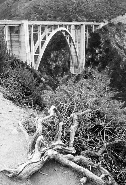
Bixby Bridge (B&W)
Bixby Bridge Landscape, Big Sur area
Big Sur seascape
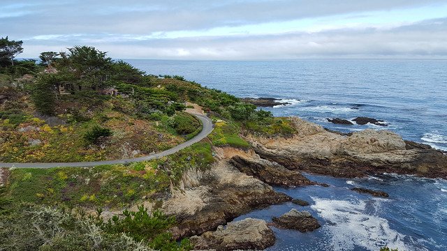
Seascape, Big Sur area
Ice Plant
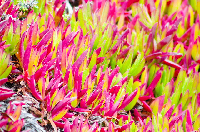
Ice Plant, Big Sur area
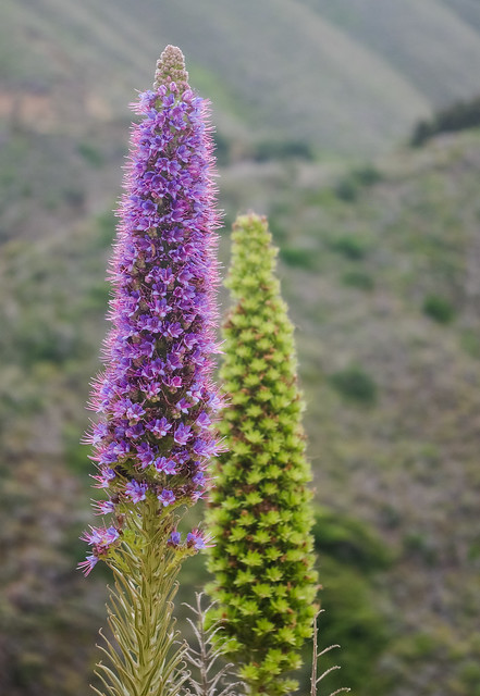
Pride of Madeira (Echium candicans)
Pride of Madeira, Big Sur area


Rocks at Garapata SP
(B&W) Rocks at Garapata SP
(B&W)
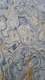
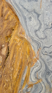
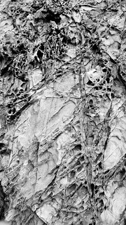
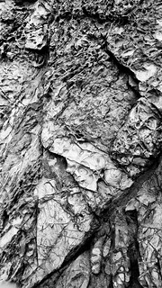
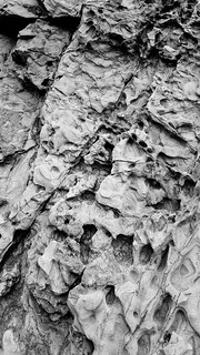
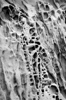
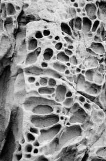
Rock Patterns Tryptych, Garapata State Park

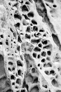
Garapata beach geology
(B&W)  Garapata beach geology (B&W)  Garapata beach geology
(B&W)
Rock Patterns Tryptych, Garapata State Park

wave
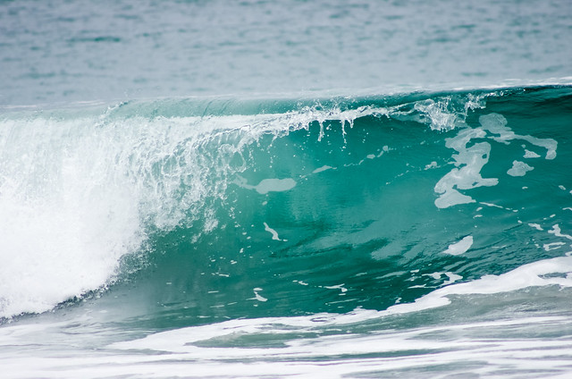
Ocean Wave, Carmel
Cannery Row
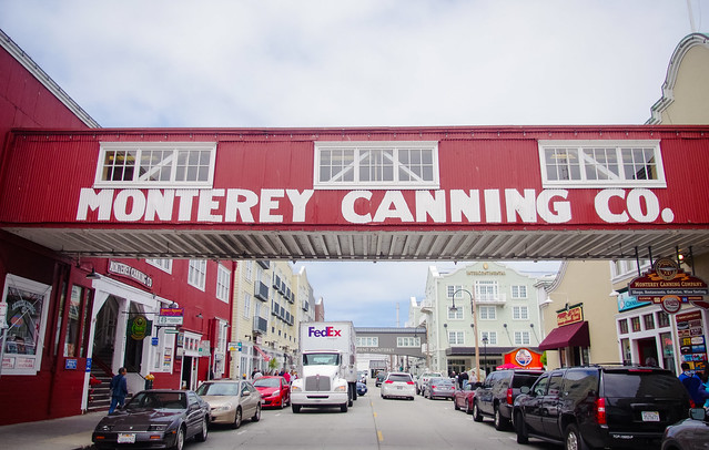
Cannery Row, Monterey


Monday, October 26, 2015

The Grand (Chinese) Army of the Republic

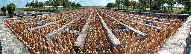
Forbidden Gardens panoramic
Terracotta Army of the Katy Prairie

Forbidden Gardens
One of the places we visited in the early years as we explored our new Texas landscapes was the inestimably odd Forbidden Gardens. I got thinking about it a bit this week, after finding an old picture which brought back vivid memories of that day.

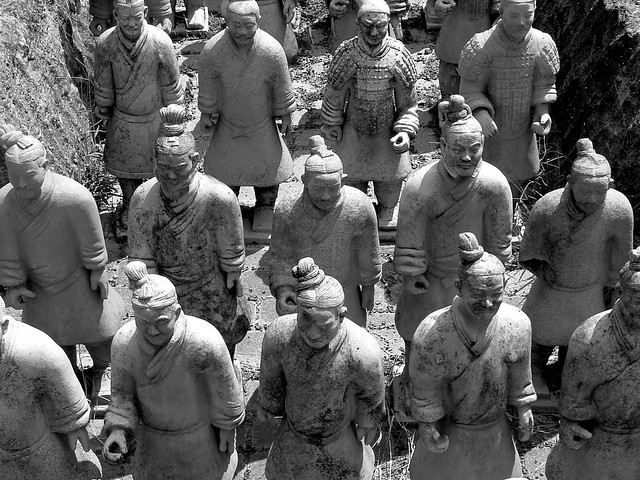
Forbidden Gardens was built in the late 90's by an enigmatic Chinese businessman named Mr. Poon, who seems to be quite literally an international man of mystery. The original stated intent was to share Chinese culture with the US, and with young Chinese living here. The 80 acre site was developed into an odd amalgamation of roadside attraction and historical museum, plopped down in the middle of a then endless expanse of prairie west of Houston.

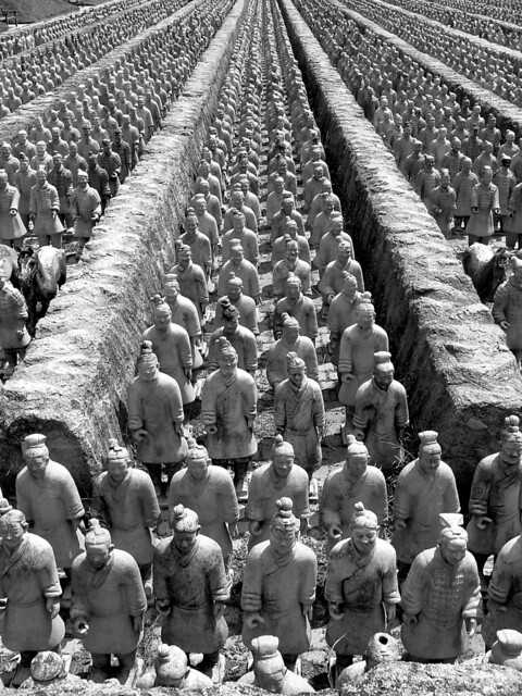
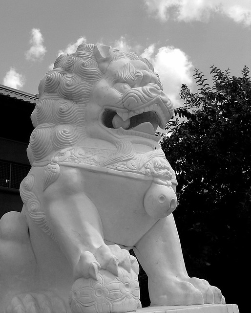
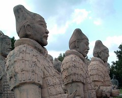
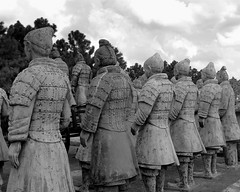
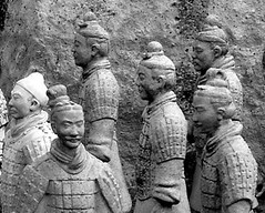
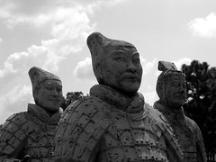
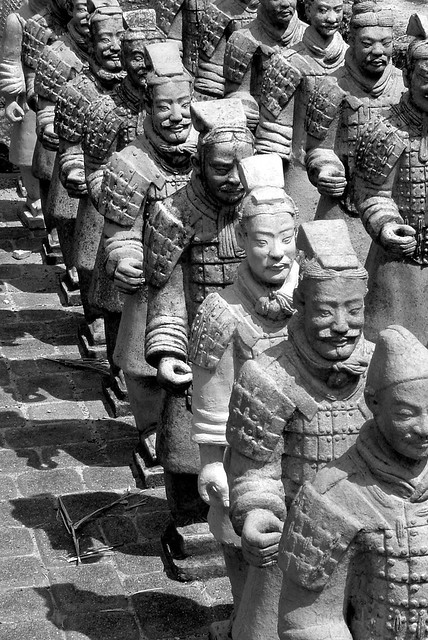
The primary exhibits were a large scale replica of the imperial Chinese Forbidden City and a full 1/3 scale replica of the Terracotta Army of Emporer Qin. There were also a series of other statuary and exhibits housed in what were originally immaculately maintained grounds.  I won't go too far into the history of the place, but you can read more about it here , here, and here.

Seeing it in person felt like someone dropped a Chinese historical site into a cow pasture in rural Texas. The soldiers stood patiently sentinel, staring out at the cow pastures of the prairie. The whole place had a sense of abandonment, like a inexplicable relic of some past civilization. It was clear that the attraction was on its way out, with weathered paint and broken statuary. In actuality the disrepair contributed to the austere feeling of the place, oddly solemn like a temple fallen to ruin. Compared to the usual roadside attractions, the lack of many other visitors and the decrepit beauty gave a sense of discovering a forgotten place rather than just vintage kitsch. I don't know why we never went back, though I'm sure it would have not had the same impact twice.

The Gardens closed in 2011 prior to the expansion of a major highway through the prairie. It's now being developed into what I'm sure will be more McMansions crowding the landscape. The Gardens were weirdly iconic, and in their passing are an unexpected metaphor for the passing of the prairie and authentic Texas landscapes in the face of ever-advancing sprawl.

When they closed, they auctioned off most of the statues. One of my biggest regrets was not buying one when I had the chance. A local bar bought one of the 6' full sized versions, and placed it initially at a urinal in the men's rest room. I still can't decide if it was juvenile or a brilliant artistic statement about the whole affair.
Forbidden Gardens 9
Weathered soldiers, Forbidden Gardens
Forbidden Gardens 7- color
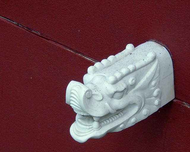
Dragon and red, Forbidden Gardens
Forbidden Gardens 10
Column of soldiers, Forbidden Gardens

Forbidden Gardens 12- Leadership
Emporer Qin surveys his warriors, Forbidden Gardens

Forbidden Gardens 8
Dragon, Forbidden Gardens
Forbidden Gardens 13
1/3 scale soldiers, Forbidden Gardens


Forbidden Gardens 4a- colorForbidden Gardens 6
Forbidden Gardens 11- IndividualityTerracotta Warriors
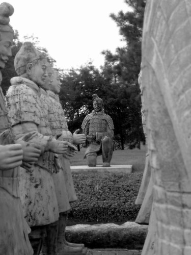
Terracotta warriors, Forbidden Gardens
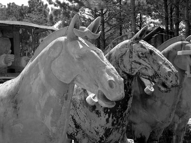
Forbidden Gardens Horses
Chariot horses, Forbidden Gardens

Remnants of Forbidden Gardens, 2014

Forbidden Gardens site in 2014, with highway to right

Tuesday, October 13, 2015

Visions of Utah - Capitol Reef


Capitol Reef
Goosenecks Vista, Capitol Reef National Park

Escalante and Capitol Reef
Road weariness had set in a bit after blazing through Arches, Monument Valley, Antelope Canyon, Zion, and Bryce in less than a week. By the time we pulled into Escalante, a dusty little town nestled in Escalante-Grand Staircase National Monument, all I wanted to do was pitch the tent and turn in. Then I heard about Everett Reuss.

We were camping for the night in the backyard of a tiny outfitting company/cafe/store. After we waddled back from a pizza dinner, I stopped for a minute to join the owner, some locals, and some campers around a big fire pit, while the rest of my group went to bed. The owner regaled us with stories of Everett Reuss, a  20-year old artistic contemporary of Dorthea Lange and Ansel Adams. Reuss was a prolific writer, artist and wanderer. He became the stuff local legend when he disappeared into the desert never to be found again, cutting a rising career. The town even had an annual Everett Reuss Days. When we got back from the trip, I picked up a copy of his collected works, and was impressed. Sadly, Reuss's remains were recently found in the canyon in which he'd been killed by thieves for his two mules, bringing a tragic end to his legend. 

We got a tip from the hipster outfitting guy the next morning that there were some great petroglyphs in a nearby canyon. However, after an hour of hiking through a wash, we came up empty. You had one job, outfitter guy...one job... 

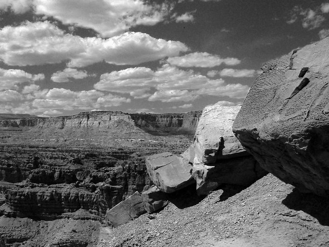
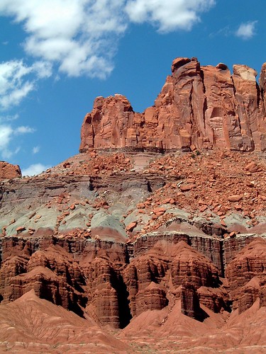
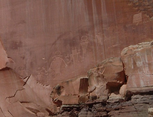
Down the road, Capitol Reef National Park made up for the morning hike. The petroglyphs were amazing, and the colors and forms of the landscapes were intense even under a midday sun. We didn't have time to see a lot of the park, but the Grand Wash hike and Goosenecks vista sold me on coming back here someday.

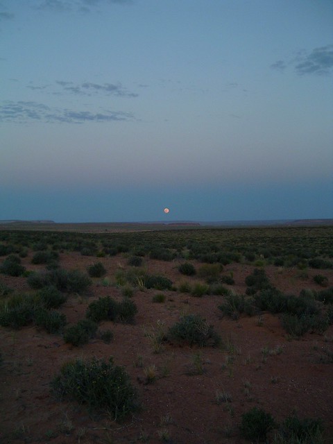
It was bittersweet to head out at the end of the day, knowing it was the end of the trip. The sight of antelope pacing the car in a desert sunset, and a low horizon moonrise were a nice parting gift.


Desert Overlook, Escalante
Escalante landscape


Capitol Reef
Cliffs, Capitol Reef NP
Capitol Reef Cliffs, Capitol Reef National Park

Orchard, Fruita area, Capitol Reef NP
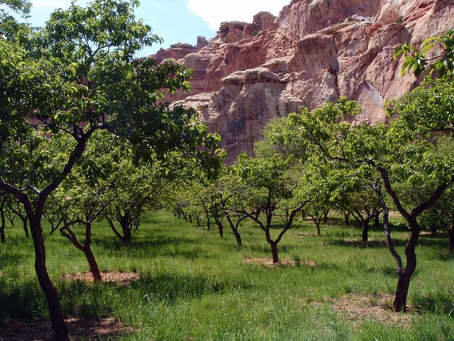
Fruita Orchard, Capitol Reef National Park

Rock Chicken, Grand Wash, Capitol Reef NP
Rock Chicken, Grand Wash, Capitol Reef National Park

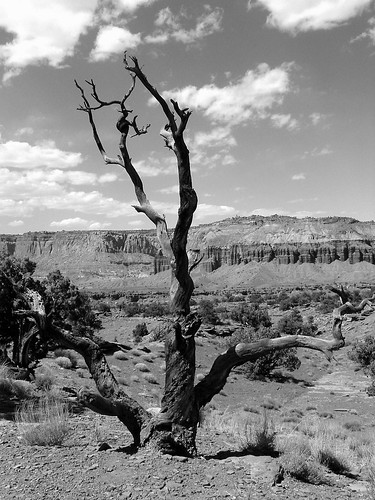
Desert Tree, Capitol Reef NP
Twisted tree, Capitol Reef National Park

Origin
Myth
Origin Myth, Grand Wash, Capitol Reef National Park

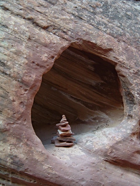
Utah0672
Cairn and Hollow, Grand Wash, Capitol Reef National Park

Utah0645
Emerging Hoodoos, Capitol Reef National Park


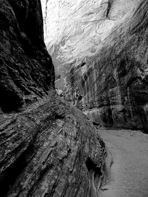
Grand Wash,
Capitol Reef NP
Vortex, Grand Wash, Capitol Reef National Park

Utah0639
Petroglyphs, Capitol Reef National Park

Sunset, Escalante-Grand Staircase National Monument

Utah
Moonrise
Moonrise over Desert Plains, Escalante-Grand Staircase National Monument

Visions of Utah - Bryce Canyon

Bryce Panoramic 5
Sunset vista, Bryce Canyon National Park


Bryce Canyon National Park
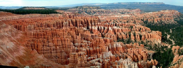
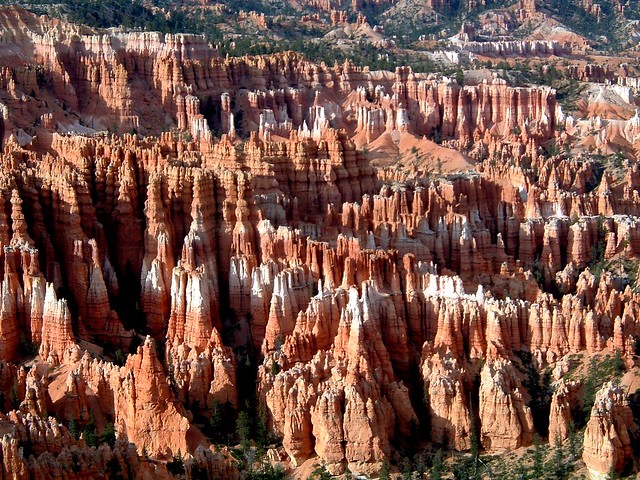
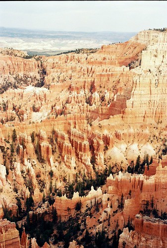
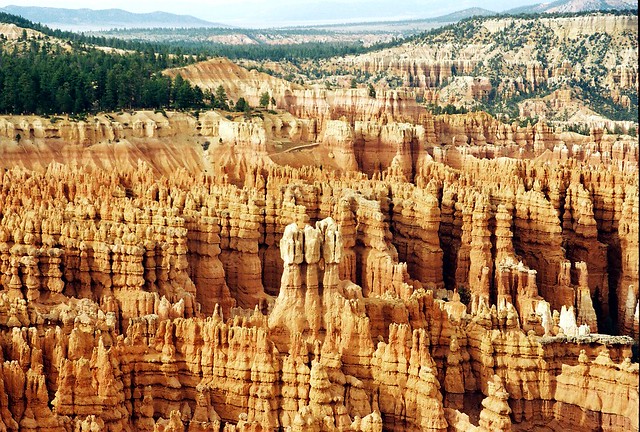
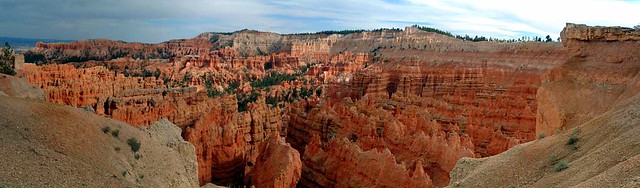
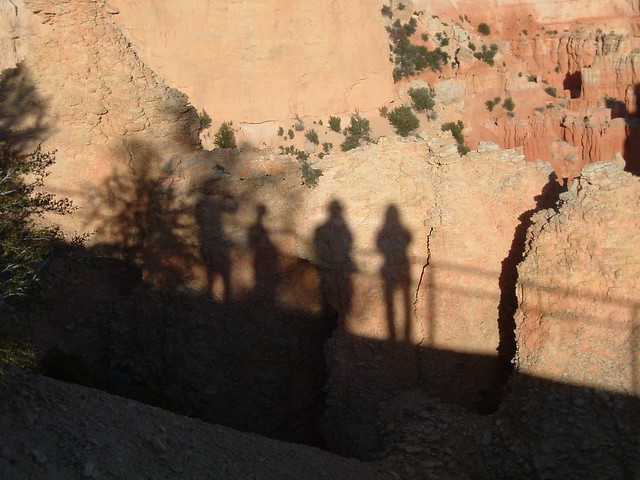
Our visit to Bryce Canyon was quick, but well timed. The two-day stays at Arches, Monument Valley/Antelope Canyon-Page, and Zion felt like they were over too soon, but our 2-hour stay at Bryce made them seem like extended sojourns. Even though Bryce is often thought of as a drive-through park, I felt like we barely scratched the surface (our party had some altitude issues that cut our stay short.) I can imagine how eerie it would be to hike into the cool stillness between the hoodoos.

At 8000-9000 feet above sea level, Bryce is one of those high, quiet places of the world, wrapped in the hush of the thin wind winding through the hoodoos. Hoodoos is a funny word. It's hard to be even marginally poetic while saying Hoodoos.  Hoodoos, Hoodoos, Hoodoos.

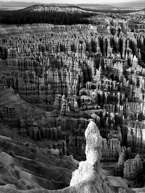
We got there just before the sun set over the canyon wall, creating dramatic shadows. The rows of hoodoos gave the impression of being part of massive temples of some  ancient, unknowable race. No time to worship that day. Off we went through the night and Escalante/Grand Staircase National Monument along Scenic Byway 12 to Escalante. 

Bryce Sunset (B&W)
Spire and Sunset, Bryce Canyon National Park

Bryce Sunset
Candycorn Hoodoos, Bryce Canyon National Park

21
Hoodoo Castles; Colors of Bryce
17
Hoodoos, Bryce Canyon National Park


Bryce Panoramic 4
Converging Hoodoos panoramic, Bryce Canyon National Park
Sojourners -
pic by Kate (McColgin) Bower
Sojourners, Bryce Canyon National Park (picture by Kate Bower)

Monday, October 12, 2015

Visions of Utah - Zion

Zion Morning, Zion
NP
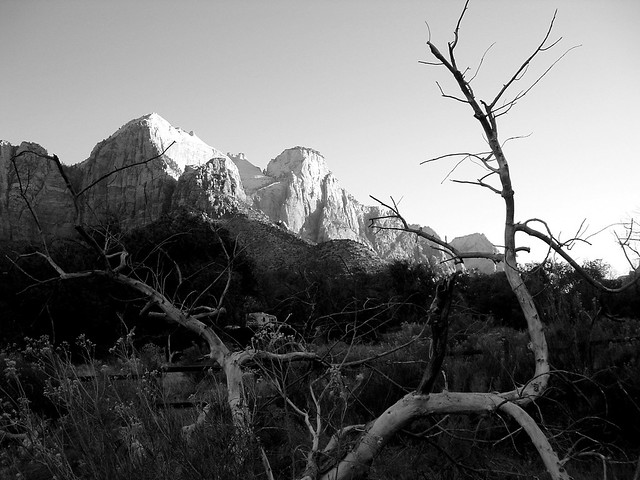
New Morning on Old Tree, Zion National Park

Zion National Park
We'd been through a whirlwind of travel already in our Utah road trip, roaming through Arches National Park, down to Monument Valley Navajo Tribal Park, and over to Antelope Canyon and Page, Arizona. We were young and ambitious then, so we were just hitting our stride when we rolled out of Page and across the desert plains to Zion National Park. I remember the scenery on the way being simultaenously striking and monotonous as we skirted through the bottom of Grand Staircase-Escalante. Sadly, the thing that stands out most to me is making a turn at the Thunderbird Restaurant with its faux art deco Thunderbird gleaming in the sun, and it's sign proudly proclaiming it's "Ho-made pies!" (Apparently the "Ho-made" spelling is just a remnant of the 50/60's product name war on the English language (and sign space restrictions) and not an indication that a lady of ill repute runs the kitchen.)

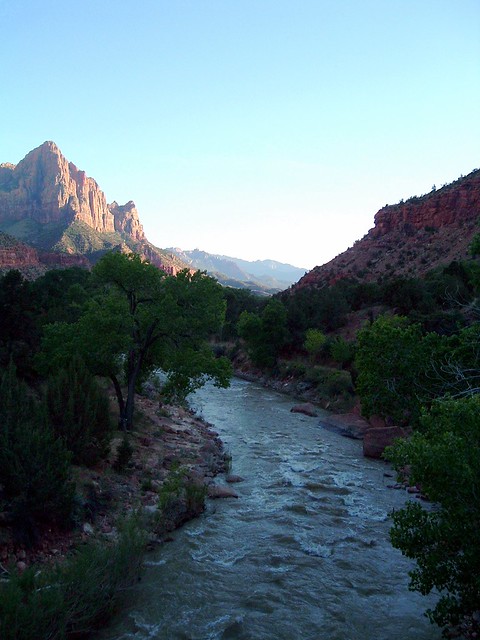
What the drive to the Mt. Carmel entrance lacked in notoriety, entering Zion itself made up for it by orders of magnitude. I remember coming into the canyon in glowing, golden afternoon. The sandstone was suffused with light, pulsing against the deep blue desert sky. As would become a theme with my wife and I, we were arriving later than planned, racing the light. We passed through the tunnels hewn into the rock on the way down to the valley floor, with open windows every so often providing glimpses to the luminous rocks, driving us on.  When we finally exited the tunnel, we were met with the presence of the incomparably majestic East Temple across the canyon, too large to even start to comprehend. When we first crossed the Virgin River, all thoughts of making it to the campground in time flew out of our heads. The river raged through its channel, dimming even as the last rays of light lit up the canyon walls around it. We took a picture...or forty. After being dragged from that vista, we drove the rest of the way to Watchman practically with tears in our eyes at not being able to stop and photograph the landscape around us, bathed in once-in-a-lifetime golden light. We got to the campground just in time to see the moon rise in the notch in Watchman.

The rest of the two-day stay was enjoyable (despite some rude first night neighbors...hey, we didn't WANT to pitch our tents in the gravel of a handicap spot next to you...it was the only one available, and the ranger TOLD us to. We told you, but you were still needlessly grumpy with us, and apparently I'm still bitter about it. Jerks.), but didn't hold a candle to that first entrance. The Narrows were shut due to water levels, but we had a great time on Angel's Landing, Emerald Pools (so many frogs!), and meandering up and down among the sites of the Valley.

Our second night campsite in the grass on the floodplain of the Virgin River was a substantial improvement over the gravel. In the mornings, I watched the sun rise over the canyon walls, illuminating the far side first while we remained in shadow. The cottonwoods along the river were true to name while we were there, with a light snow falling in the breeze, floating down the verdant strip of river valley.   

Zion Moonrise 2, Zion
NP
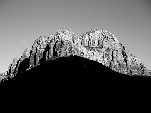
Moonrise over Bridge Mountain, Zion National Park

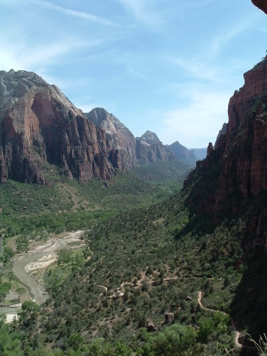
556767-R1-037-17Angel's Landing
Trail, Zion NP
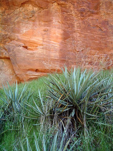
Kayenta Trail vista; Sandstone and Yucca - Refrigerator Canyon

Natural Pictographs-
Zion NP
People of the Rock, Zion National Park
Zion Tree
2
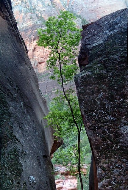
Opportunity, Zion National Park
Zion
Landscape
Cottonwood vista, Zion National Park
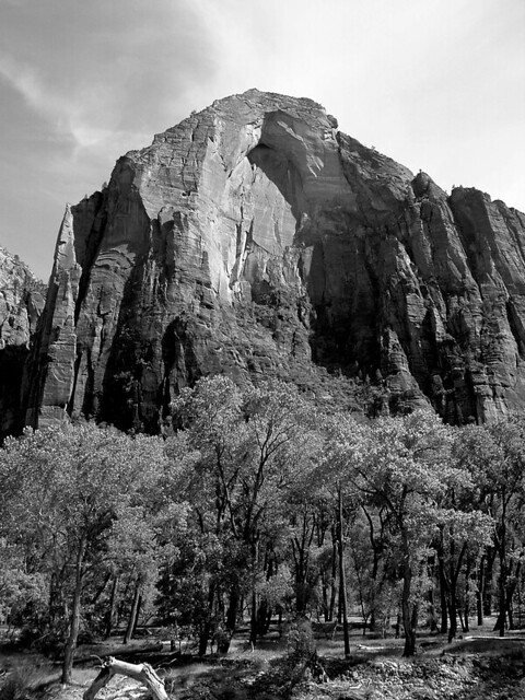
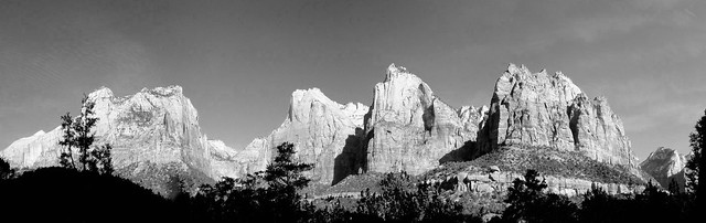
Court of the Patriarchs
Panoramic, Zion NP
Court of the Patriarchs panoramic, Zion National Park
Zion
CanyonMoonrise, Cable
Mountain, Zion NP
Zion Valley vista; Moonrise over the Watchman

Virgin River Sunset, Zion
NP
Last light of day, Virgin River, Zion National Park

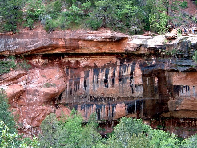
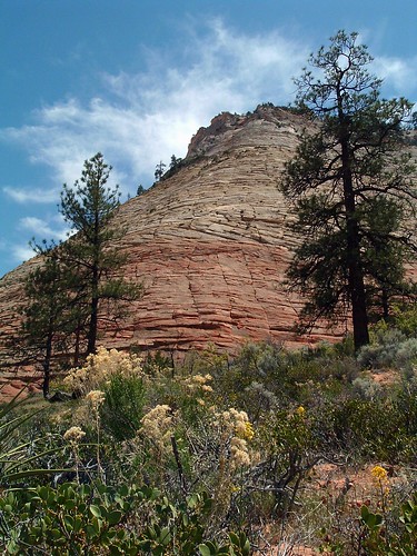
Checkerboard Mesa, Zion NP Emerald Pool, Zion NP
Checkerboard Mesa; Emerald Pool