(pics below)
So last Friday I shook free the shackles of suburbia and headed east. I should preface this by saying that Houston, east of downtown is refinery-and-shipping-channel-land...not known for its scenic beauty, fine dining, or, you know, ability to support basic ecoological functions. Even east past industrial east Houston is ...well...not a whole hell of a lot. Flat, Open coastal plain and good old bayou swamp until you're a fair degree into Louisiana.
However, along the coast, SE of Houston is Anahuac National Wildlife Refuge and the High Island bird sanctuaries. This part of the coast is part of large migratory routes for all manner of large birds, and in my effort to check off a few more things on the "national lands visited" list, I thought I'd take the day and head on down to check them out. (The most opportune time for these areas, apparently is earlier in the year during the migration, etc. Also, days that are not 100 degrees in the [non-existant] shade are recommended.
I was not aware of this at the time.
One one leaves the relative civilization of the great east-west gulf coast artery of Highway 10, you descend almost immediately south into what every movie about the delta blues has always lead me to believe the rural delta to be. Hot to the point of mirages on the road, flat, and seemingly devoid of humanity short of old run down shacks. The long drive down brought me along dusty (it hasn't rained in a while) old roads with nothing but flat, sun saturated fields as far as the eye could see. I could practically hear strains of mournful delta blues guitar, and was half convinced at each successive crossroads that I would come upon Robert Johnson making his legendary deal with the Devil.
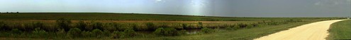
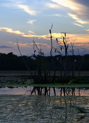
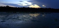
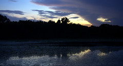
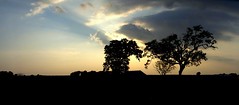
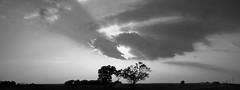
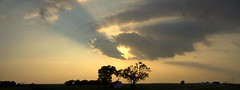
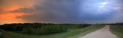
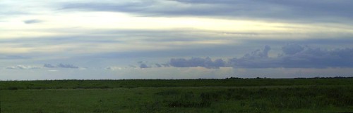
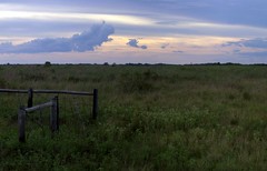
I finally got down to Anahuac, and was pretty excited to see the usual National Parks/Lands sign. At that point the beaten down back roads became newly paved actual blacktop.....until you get into the Refuge itself. (Then the roads aren't so much "roads" as "proto-roads"...or vague IDEAS of roads). The day was already overly bright and hazy, so photography was not my first aim.Anahuac has about zero change in elevation, and is very reminiscint of the land around it, just not carved up for agriculture. Flat coastal prairie and seemingly endless marsh broken only by slowly meandering waterways and bayou. Not quite the majesty of Zion or other-wordly scale of Arches, but an impressively vast space in its own right.
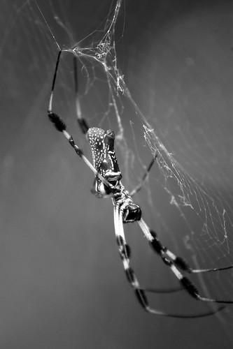
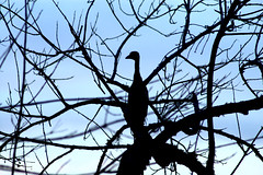
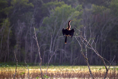
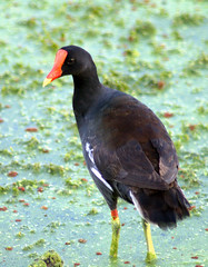
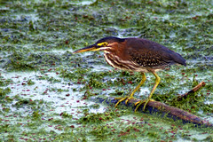
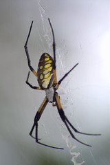
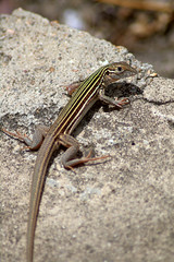
After spending a few hours wandering its expanse and frightening uncounted numbers of wading birds, I headed southeast to High Island. High Island is neither High nor Island. It's just a big salt dome bubble that raises the "town" a couple feet above sea level. There are four separate bird sanctuaries in this tiny little hamlet, which seemed to outnumber the people I saw, (0) streets (a couple), and certainly, signs directing one to the sancturaries.(0) Friends had raved about the sanctuaries, but in my short tour during this off season, it really appeared they had been abandoned in 1964 and nature had taken over since. It had a post-apocalyptic feel to it. After I finally hiked to the main roosting area, surrounded by alligator infested lake, any thoughts of actually seeing the birds were put to rest by the burgeoning populations of Golden Silk spiders. At the zenith of their season, these ubiquitous arachnids had reached (female) sizes approximating the width and length of my thumb, not including legs. As the largest true spider in North America, they essentially rule the landscape from late May to early fall. Which means hiking on trails in this time frame is greatly hampered by large (like, ten by four or more foot webs) stretched out across flyways (like trails) at about face-height, about every 2 or 3 feet. While I got some brief glimpses at some roseate spoonbills, cormorants, herons, egrets, etc, I was unable to really get to good vantage spots for the sheer volume and space of spider webs blocking the trails. Part of my latent arachnophobia flared up as the day went on, though I wouild argue this had less to do with personal quirks and more to do with HUNDREDS OF FIST SIZD SPIDERS in any direction one stepped/looked.
So I didn't have quite the photographic outing I had hoped for, but it was an interesting jaunt, regardless.
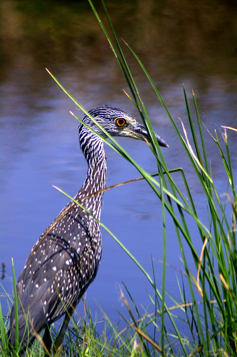
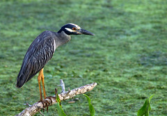
Immature Yellow Crowned Night Heron
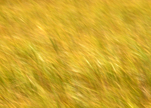
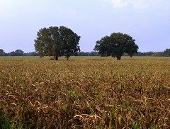
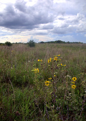
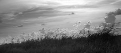
Coastal Prairie Grasses
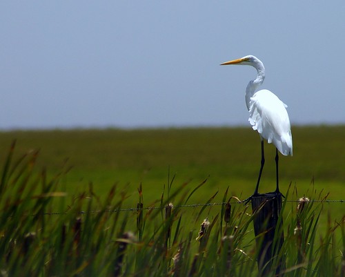
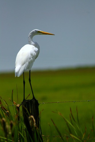
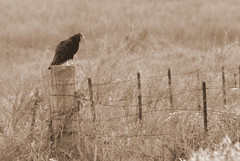
Egret on Watch
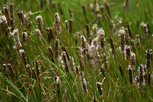
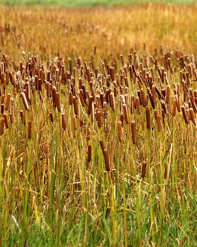
Cattail marsh
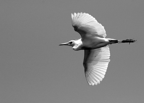
Egret in Flight
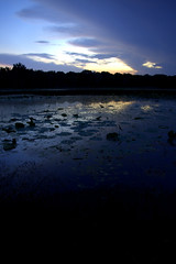
Panoramic
Golden Silk Spider
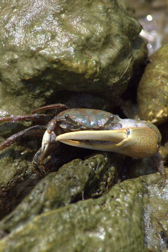
Marsh Crab
Egret on Watch 2
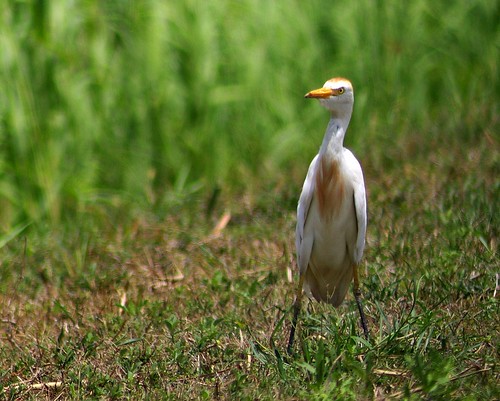
Cattle Egret
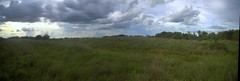
Field of Grasses and Cattails - "Rush hour"
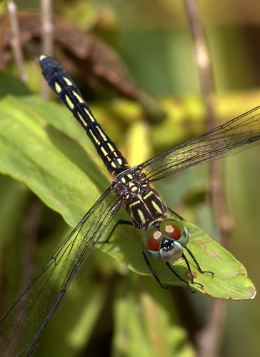
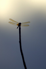
Dragonfly with Monkey Face
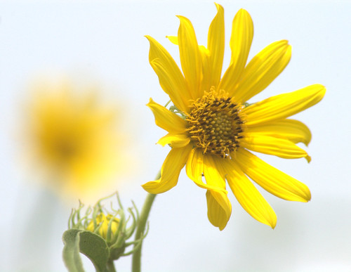
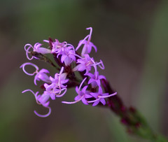
Wildflowers
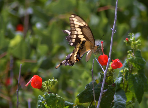
Giant Swallowtail and Flowers


